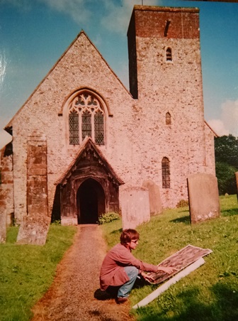
 Hastingleigh, England, May 2002.
The author completes his master’s
degree with an image printout of the area using a primitive technology known as “paper.”[/caption] Fifteen years ago, I was part of a select club of lucky people who looked at Earth imagery every day. Nowadays, it’s easy to take instant access to location information for granted; we carry multiple maps of the entire world on the phones in our pockets. Satellite imagery used to be really hard to find or share because of large file sizes. Back then, the only way to see imagery was to get a CD or DVD of the data, then load it onto your desktop computer. Sharing the data meant yelling, “Hey Dave – come look at this!” not clicking a button to instantly share with your social network. At DigitalGlobe, we were well aware of the headache this caused for our customers. More than ten years ago, we started working on a “skin of the earth” solution to provide online access to professional-grade imagery for geospatial specialists. From the beginning, we knew that people wanted not just imagery, but beautiful imagery, recent imagery, and dependable imagery. But even Rome wasn't built in a day, so our developers quickly got to work on some digital aqueducts and started making imagery of our changing planet available to geo-professionals around the world. Version 1.0 of the DigitalGlobe Basemap, released in 2011, had two components: the image content users could see (which we called Global Basemap) and the underlying technology infrastructure that made it possible (which we called Cloud Services). We defined the technical parameters customers most often requested, mined our imagery archive for the best available images for every part of the globe, and then put them online. The result was an “imagery quilt” with some patches in color, some in black and white, and some with substantial cloud cover, but all were the best available image of that part of the Earth. For the first time, high-resolution, professional-grade, application-ready imagery was accessible instantly online, and users loved it. And we were just getting started. Stay tuned for my next post on how we smoothed the rough edges to create the world’s most beautiful imagery basemap. Casey McCullar is Director of Product Marketing at DigitalGlobe.