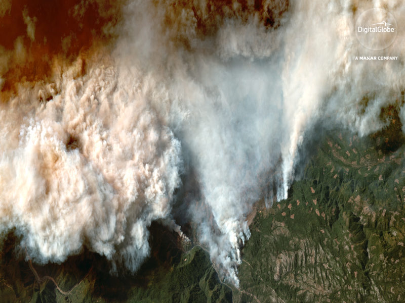
Multiple fires are currently burning in California. The Camp Fire north of Sacramento destroyed the town of Paradise, burning over 7,600 structures, most of them homes. The Camp Fire has burned over 125,000 acres and is approximately 30% contained, according to CAL FIRE. The Woolsey fire, has swept through parts of Los Angeles and Malibu, destroying over 435 structures with as many as 57,000 believed to be under threat. This fire is 35% contained and has burned nearly 96,000 acres. The Hill Fire in Ventura County has been kept to about 4,500 acres and is 90 percent contained. Across the state, 44 people have been killed in these fires, and more than 200 people are missing in the area of the Camp Fire. These fires are fueled by fierce winds, blowing as hard as 86 miles per hour.
When crises like this occur, Maxar is committed to supporting the humanitarian community and fulfilling our purpose of Building a Better World by providing critical and actionable information to assist response efforts. As part of our Open Data Program, we will publicly release data of the affected areas to support disaster response as it becomes available.
Any imagery or data distributed through the Open Data Program is licensed under the Creative Commons Attribution Non-Commercial 4.0 license (CC BY-NC 4.0). This licensing allows for non-commercial use of the information, meaning it can quickly be integrated into first responder workflows with organizations like Team Rubicon, the Red Cross and other non-profits. If commercial companies are interested in using the data distributed through the Open Data Program, it can be purchased by contacting Maxar.
Pre-event imagery has been posted on our Open Data Program website. Please continue to check this site and our social media channels for updates on post-event data.