The State of the Map is strong. You could use a lot more words to summarize the energy at the 2015 State of the Map U.S. conference, but why bother? This past weekend, the future of geo teamed up at the United Nations (the most appropriate place on the planet to collaborate?) in New York City. Attendees covered the full gamut of OpenStreetMap stakeholders: data providers, platform developers, app creators, and users. Maxar was excited to continue supporting the event through sponsorship, which represents the commitment the company has made to open mapping initiatives and the future of cartography. More on Maxar’s role can be found in Kevin Bullock’s blog post last week. The landscape of the planet is constantly changing under the forces of natural events and human activity. If you read my previous blog post about Location – Time – Context, then you've been primed for what I’m about to say: the day of the static map is long gone. Static maps are for static spaces (good luck finding that). The question is how do you keep a map current? Maxar has helped answer this question by providing current satellite imagery to partner mapping platforms that enable the millions of OpenStreetMap users to vectorize the planet – and that is exactly what the State of the Map is all about – how to keep a map current, leverage maps to solve real world problems and create economic value, and to simply help people “get around. And that brings us to the Selfie From Space…


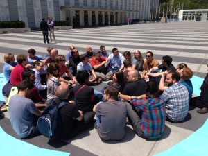
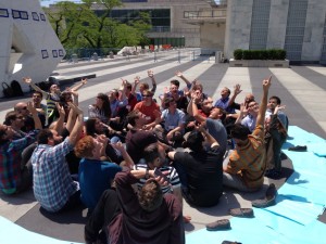
Collecting satellite imagery is an outdoor sport. Meaning, there are many factors beyond our control required for success. Last Sunday at the State of the Map, these factors all came together. As WorldView-3 was orbiting more than 15,000 mph, nearly 400 miles above Manhattan, a group of roughly 20 conference attendees gathered in the north-east corner of the United Nations plaza. Mother Nature cooperated with a cloud free day, although the bit of wind made keeping the “UN-blue” paper squares in a circle a bit challenging. United Nations security staff and event organizers were also extremely cordial and supportive. As we anticipated the 11:44 a.m. collection time, I was honored to talk satellite physics with an engaged audience of conference attendees. We used a mobile application to track WorldView-3 approaching from the north, and as we entered the collection window, everyone looked up and smiled for their first ever selfie from space.

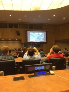
Minutes after collection, the image was downlinked to a ground station, sent to Longmont, Colorado for processing, hosted on the Maxar Cloud Services platform and presented at the closing remarks of the State of the Map just hours later. The selfie was a huge success! Special thanks to Alyssa Wright, Alex Barth, Javier de la Torre, and the United Nations security staff who made this work.
